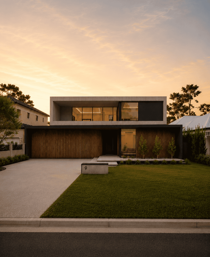
Strickland Road
Ardross
River suburbs
Most new homes in Attadale replace an existing house on a well-established block, many of them close to the river foreshore. Our in-house design team and interior designers work with you from the first conversation, so the new home reflects how you want to live, not just what the code allows. Builds typically start from $1.5M, excluding land.
Attadale is mostly one code, R15, with an R12.5 row facing the foreshore along Burke Drive and an R25 band toward Canning Highway. Below, we cover the City's change to building height on 18 August 2026, the garage and fence rules, and what the river and bushfire mapping do and don't mean for a lot.
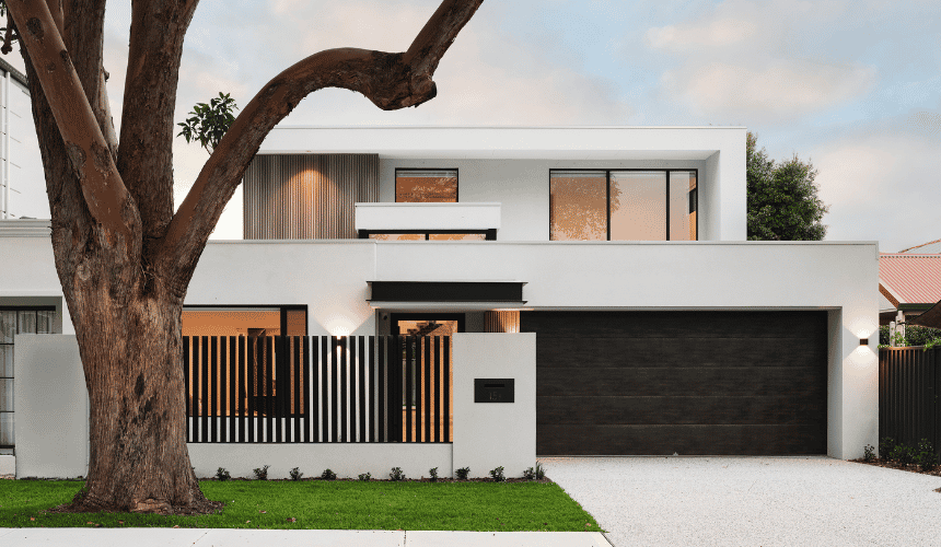
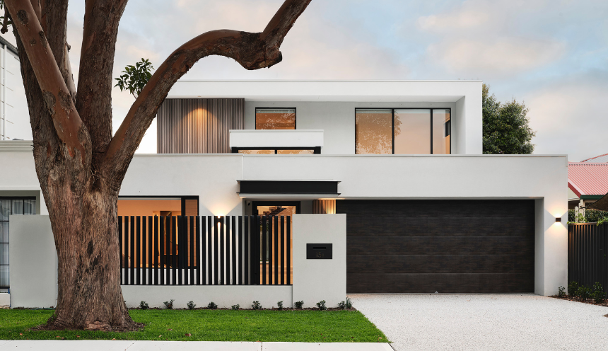
We've built in Attadale and in neighbouring Ardross, so the City of Melville's rules and these streets are familiar ground for our team. A short drive east, we're currently building two homes in Mount Pleasant.
Private tours of selected completed and in-progress homes are available by invitation, subject to availability. Our team can share which homes are currently available to view.
The scheme and the codes. Attadale sits in the City of Melville under Local Planning Scheme No. 6, gazetted on 27 May 2016. On the scheme map most of the suburb is R15, including Doongalla Road, Cawston Road, Ormond Road, Stoneham Road, Wichmann Road, Lawlor Road, Davidson Road, Galloway Street and Hough Road; public mapping puts about 31.7% of the suburb's area in that code. The first row of lots along Burke Drive facing the foreshore is R12.5, as are the blocks at the north end around Page Street and Moreing Road (about 5.6%). A southern band toward Canning Highway is R25 (about 6.1%), for example Reed Road, Swan Road and Hislop Road, and a south-east pocket around Haig Road, Bricknell Road, Kingsall Road and Hurst Street is R20. Under the R-Codes, R15 means a 6 m primary street setback, 50% open space and a 12 m minimum frontage; R12.5 means 7.5 m, 55% and 17 m. No structure plan, character policy or design guideline covers Attadale's house streets. The exception is the Canning Highway and Stock Road corner, where the Melville District Centre carries higher codes; if the lot is next to it, ask the City how that centre plan's rules apply to adjoining houses. The streets above were read from the scheme map, so check the lot's code with the City.
Lot size and subdividing. The R-Codes set a minimum site area of 580 m2 and an average of 666 m2 per lot at R15, and a minimum of 700 m2 and an average of 800 m2 at R12.5. Two lots therefore need about 1,332 m2 at R15 and about 1,600 m2 at R12.5. On a lot smaller than that, the project is a knockdown and a single new house. R25 is different: the minimum is 300 m2 and the average 350 m2, with an 8 m frontage. The City's June 2026 map of proposed density changes shows no recoding in Attadale.
Setbacks and the street. Local Planning Policy 3.1 Residential Development (last reviewed 17 May 2022) replaces several R-Codes standards. A garage is set back 4.5 m from the primary street, which can be reduced where the garage sits at least 0.5 m behind the dwelling alignment, and 3.0 m from a secondary street. The garage door and its supporting structures cannot take up more than 50% of the lot frontage, or up to 60% on a two storey house where the upper floor extends the full width of the garage and the entrance is clearly visible from the street. A front fence must be visually permeable above 1.2 m, to a maximum of 1.8 m to the top of panels and 2.0 m to the top of piers. On a corner lot below R30 the house is set back a minimum of 1.5 m and an average of 3 m from the secondary street. For the primary street the policy allows the setback to match the average of the adjacent dwellings, or to be reduced by up to 50% where the building area in the setback is offset by an equal area of open space. The policy was written against an older edition of the R-Codes and has not been updated to match the current one, so confirm how the City applies the street setback to your lot. On a side boundary, where the code is below R20 a boundary wall can be up to 3 m high for 9 m behind the street setback line.
Height. The scheme sets no height limit for the Residential zone. Until this year Local Planning Policy 1.9 Height of Buildings set one: for R12.5 to R40 it allowed 8.0 m to the eaves, a 9.0 m external wall with a concealed roof and 10.5 m overall. Council revoked that policy on 18 August 2026 with immediate effect. Height is now as per R-Codes Volume 1 (Version 3, published 10 April 2026), Table 3, Category B: a 7 m wall, and a total of 8 m for a gable, skillion or concealed roof or 10 m for a hipped and pitched roof. Anything above those figures needs a design principles assessment under clause 5.1.6. Local Planning Policy 1.10 Amenity (last reviewed 17 March 2026) lists access to views of significance among the factors the City may weigh in that kind of assessment.
The foreshore and the river. About 13.7% of the suburb's area is in the Swan Canning development control area. On the scheme map Burke Drive runs between the house lots and the foreshore reserve for the whole length of the foreshore, with the Alfred Cove Nature Reserve beyond it. It isn't clear that any Attadale house lot abuts the control area, so check the Department of Biodiversity, Conservation and Attractions' map for your lot. If a lot does abut it, the department's Policy 48 (June 2016) asks for a principal setback of 10 m or 20% of the average distance to the opposite boundary, whichever is the lesser, with open style fencing no higher than 1.8 m on that boundary. State river policy, as reproduced in the City's 2016 Local Planning Strategy, names the Attadale foreshore and Alfred Cove among the public vantage points whose views planning decisions should protect. That protects the view from the foreshore, not a private view from a house. We did not find flood or coastal hazard mapping on the City's pages, so ask the City about levels if the lot is low.
Bushfire. About 10.8% of the suburb's area is mapped bushfire prone. The City publishes no statement about which Attadale streets are affected, so check the lot on the DFES map. Where State bushfire policy applies, the City's planning checklist asks for a Bushfire Attack Level assessment.
Trees. On private land, the City states that development approval is not currently required to remove a tree. A draft policy would change that, and it is covered under "Rules in motion" below because it is not in force. Street trees are City-managed under policy CP-029 Trees on City Managed Land (last reviewed 9 December 2025). The City will not remove a healthy street tree for a crossover where an alternative location exists, and where removal is approved the applicant pays for the removal, two replacement trees and three years of establishment. A crossover needs its own approval from the City; it is 3 m to 6 m wide, or 4.5 m at most where the frontage is 12.5 m or less.
Heritage. No private house in Attadale appears on the City's Heritage List (Version 5, updated June 2023), and the City's document records no State Register place in the suburb. The listed places include Alfred Cove Reserve, covering the Alfred Cove and Attadale foreshores, and the Santa Maria College Administration Building and Chapel on Moreing Road. The former house known as The Cove at 568 Canning Highway is on the Local Heritage Survey only, as Category 3, which the City says carries no formal development restrictions.
Demolition and knockdown rebuild. Demolition needs a permit (form BA5), which the City decides within 10 working days. Planning approval is not needed unless the property is on the Heritage List. The City takes a $1,900 verge bond for all demolition work, plus a non-refundable inspection fee, and refunds the bond after a Notice of Completion and a passed verge inspection. Building work valued over $20,000 and any pool installation or removal carry their own bond. Asbestos is removed before demolition, by a licensed contractor where there is 10 m2 or more of asbestos cement sheeting. If an old pool is removed, the backfill is compacted to achieve a Type A site classification. The site is to be left clean and tidy within 90 days of the permit. The ABS recorded 63 new house approvals in the Melville statistical area, which includes Attadale, in the 12 months to September 2026, against 71 the year before.
Rules in motion. Draft Local Planning Policy 1.24 Regulated Trees on Private Land was advertised from 31 August to 31 October 2026. The City is reviewing the feedback and has set no adoption date, and it states that the proposed requirements are not currently in effect. If adopted as drafted, damaging a tree that is 8 m or more high, has an average canopy diameter of at least 6 m, or has a trunk circumference of at least 1.5 m measured 1.4 m above the ground would need development approval. Palms, cypresses and fruit trees would be exempt, and impact on views, solar installations or private gardens would not be accepted as reasons. Amendments to Policy 3.1, advertised in 2025, would return the street and garage setbacks to the R-Codes and add a height clause for sloping sites; Council referred them back to committee on 9 December 2025 and we found no adoption. The City's review of Local Planning Scheme No. 6 expects a draft scheme in late 2026 and the statutory process in 2027, and as noted proposes no density change in Attadale. With reviews under way, the rules will change. Check the current codes for your lot with the City of Melville, or ask us, before you buy or begin design.
| Measure | Figure | As at | Source |
|---|---|---|---|
| New houses approved, 12 months | 63in the Melville statistical area (71 the year before), which includes Attadale | October 2025 to September 2026 | ABS Building Approvals |
| Residential density codes | About 31.7%of the suburb area R15, 6.1% R25, 5.6% R12.5 | Sampled 10 November 2026 | DPLH via Landgate SLIP |
| Bushfire-prone mapping | About 10.8%of the suburb area; check the lot | Sampled 10 November 2026 | DFES via Landgate SLIP |
| Swan Canning development control area | About 13.7%of the suburb area, along the river | Sampled 10 November 2026 | DBCA via Landgate SLIP |
| Separate houses | 69.4%of private dwellings | 2021 Census | ABS |
| Population | 6,638 | 2021 Census | ABS |
Figures are for the suburb or statistical area named. Area shares are grid estimates from public mapping and are not lot designations.
For current median sale prices, see REIWA's Attadale suburb profile.
As our cost guide explains, a Trendsetter home is generally $4,000 to $6,000+ per square metre to build. Builds range from $1.5M to $4M, with most between $1.5M and $3M, excluding land.
In Attadale, that usually means a knockdown and one new house on an R15 lot: a 6 m street setback, half the site left open, and a garage at 4.5 m taking no more than half the frontage, or 60% under a full-width upper floor. Keeping the garage in proportion lets the home, not the car, address the street. On the Burke Drive row, the R12.5 code moves the house back to 7.5 m and keeps 55% of the site open. Since 18 August 2026, the 7 m wall is a fixed point: a two storey house with a concealed roof has 8 m in total, where the revoked policy allowed a 9.0 m wall, so we settle ceiling heights and floor structure in the first sketches. We check the bushfire and river mapping for the lot at the start, because either can add a requirement before the design is finished.
Trendsetter Homes has designed and built custom homes across Perth since 1997. Design, construction and interiors are handled by one team, so the people who draw your home are the people who build it, and the interior designer is in the room from the first brief. Before you commit, we show you real homes: private tours of finished and in-progress client homes, by invitation, with no obligation. Many clients talk to us before they buy a block, and that is a good time to start.
Design, construction and interiors are one team. These are the people you meet first.
Bicton, Applecross, Ardross and Mount Pleasant are also in the City of Melville, so the same scheme and policies carry across. East Fremantle lies beyond the local government boundary on Bicton's western edge, where the rules change.
Nearby: Bicton, Applecross, Ardross, Mount Pleasant, East Fremantle.
Elsewhere in the river suburbs: Bull Creek, Como, Manning, Salter Point, South Perth, Waterford.
All areas: see every suburb we have written up.
The R-Codes Table 3 Category B limits apply: a 7 m wall, and a total of 8 m for a gable, skillion or concealed roof or 10 m for a hipped and pitched roof. Until 18 August 2026 the City's Local Planning Policy 1.9 allowed 8.0 m to the eaves, a 9.0 m wall with a concealed roof and 10.5 m overall, but Council revoked it on that date. Anything above the Table 3 figures needs a design principles assessment.
At R15 the R-Codes need a minimum of 580 m2 and an average of 666 m2 per lot, so two lots need about 1,332 m2; at R12.5 the figure is about 1,600 m2. A lot below that is a one for one knockdown rebuild. The City's June 2026 map of proposed density changes shows no recoding in Attadale.
On private land, yes for now: the City states that development approval is not currently required to remove a tree. Draft Local Planning Policy 1.24 would require approval for trees 8 m or more high, with a canopy averaging at least 6 m or a trunk circumference of at least 1.5 m, but it has been advertised and not adopted. A street tree on the verge is City-managed under policy CP-029, and the City will not remove a healthy one for a crossover where another location exists.
About 13.7% of the suburb's area is in the Swan Canning development control area and about 10.8% is mapped bushfire prone, but those are shares of the whole suburb, reserves included. Burke Drive runs between the house lots and the foreshore reserve, and it isn't clear that any house lot abuts the control area. Check the lot on the department's map and the DFES map before you buy.
A demolition permit on form BA5, which the City decides within 10 working days, and a $1,900 verge bond plus a non-refundable inspection fee. Planning approval is not needed unless the property is on the Heritage List, and no private house in Attadale is on it. Asbestos is removed first, and the site is to be left clean and tidy within 90 days of the permit.
Book a design meeting at our Osborne Park office, or request a private tour of a finished or in-progress home. Office (08) 9446 2822. For tours, call Marek on 0412 688 079. Or use the enquiry form below.
Client reviews
“From the outset Michael was very clear about their process and costing. … The quality of materials and workmanship are excellent. In addition, there was good communication and any queries we had were responded to quickly. We highly recommend Trendsetter Homes.”
“We can’t praise Michael Agostino and his great team enough for making the journey as drama-free as possible. Michael’s experience, knowledge and attention to detail are outstanding.”
“From design with Anthony, he was amazing and hit all of our needs and provided a really good layout that worked well for us. … There was open communication throughout the build which made the build a lot easier.”
“They are great to work with, very professional and attentive to detail. We highly recommend Trendsetter Homes for anyone looking for a builder who build quality homes and is reliable and trustworthy.”