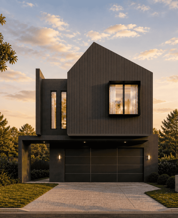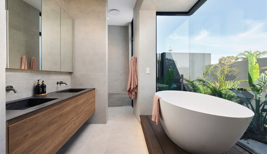
Sheppard Way
Marmion
Coast
We design and build custom homes in Trigg and across Perth's coast.
Our projects typically start at $1.5M for the build, excluding land. Trigg is a grid of R20 house streets held between the coastal reserve on one side and Trigg Bushland on the other. This page explains what that means for a new house: why there is no special coastal height limit on a house lot, what the City's coastal hazard plan says about private property, and why bushfire mapping matters on the streets that face the reserve.
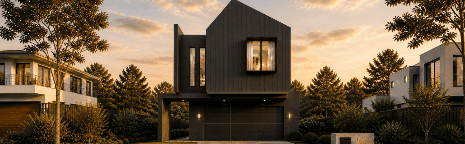
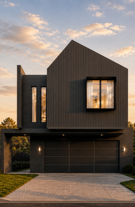
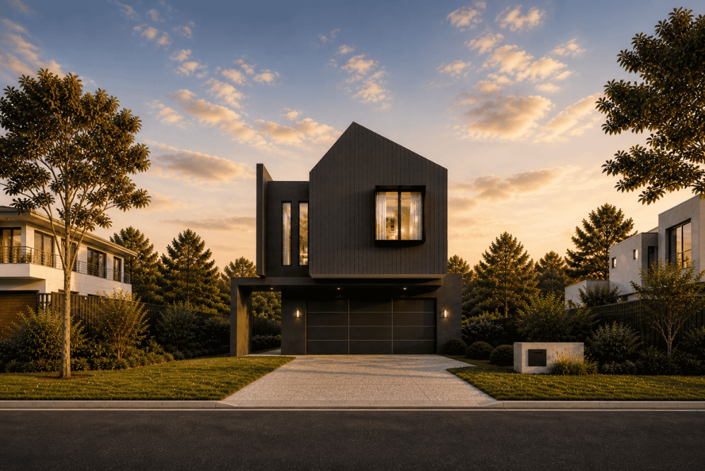
We have not built a home in Trigg yet, so the closest work is in the suburbs around it. Brown Way in Karrinyup, the next suburb to the east, is a home on a 373 m2 lot with completion expected in 2027. Sheppard Way in Marmion, north along the coast, is a finished home on a 777 m2 lot, completed in February 2025.
Private tours of finished and in-progress homes are by invitation. Ask us which homes can be visited.
The scheme and the codes. Trigg is in the City of Stirling under Local Planning Scheme No. 3, gazetted on 6 August 2010, with the City's copy of the text last updated on 12 June 2026. Clause 5.2.2 requires houses to conform with the R-Codes, and the scheme map sets the density. The state's scheme map for the Karrinyup locality (Map 5, plotted 15 April 2024) shows Trigg's house streets zoned Residential and coded R20 throughout. That covers the Wilberforce, Forrest, Saunders, Sholl, Giles, Bailey, Bennion and Kathleen street blocks, Bellhus Drive, Elliott Road, King Albert Road and Hepworth Road, and the north to south streets Chrysostom, Kitchener, Arnott, Mettam, Floyd, Haysom, Muller, Rona, Kirkby, Lefroy, Joffre and Spence. The exceptions on the map are one lot marked R10 at the West Coast Drive end of Kathleen Street, R40 at 107 Lynn Street and an additional use for offices at 31 Williamson Way. Public mapping puts about 30.3% of the suburb's area in R20 and 1.9% in R40, and the rest carries no residential code. Confirm the lot's code on the City's online mapping.
The edges of the grid. The house streets are bounded on the west by the coastal reserve and on the east and south by Trigg Bushland, which is reserved for Parks and Recreation under the Metropolitan Region Scheme. The West Coast Highway road reservation cuts through the reserve south of Hepworth Road. Lots on Arnott Street, Hepworth Road, Elliott Road and the east end of Kathleen Street back onto or face the reserve, and those are the lots where the bushfire rules below matter most.
Setbacks and the street. No local policy changes street setbacks, garage width, open space or front fences on ordinary Trigg lots, so the R-Codes standards apply. For an R20 single house (R-Codes Volume 1, Version 3, published 10 April 2026) that is a 6 m primary street setback, 1.5 m to a secondary street, 50% open space and a 30 m2 outdoor living area. Local Planning Policy 6.15 keeps anything within 1.5 m of where the driveway meets the street to no higher than 0.75 m above natural ground level, with limited allowance for fencing. The City's Street Walls and Fences sheet (March 2023) says a front fence needs no development approval if solid portions are no higher than 1.2 m, anything above that is visually permeable, the overall height is no more than 1.8 m and piers are no larger than 400 mm by 400 mm. The City's crossover sheet gives a width of 3.0 m to 6.0 m at the lot boundary, but it dates from 2017, so confirm the figure with the City.
Height. Buyers often assume a coastal suburb has a coastal height limit. For a house lot in Trigg it does not. The City has no local height policy for houses: Local Planning Policy 2.6 Residential Building Heights was revoked on 20 February 2023. Height is set by R-Codes clause 5.1.6 and Table 3, Category B: a 7 m wall, and a total of 8 m for a gable, skillion or concealed roof or 10 m for a hipped or pitched roof. The only coastal height control in the scheme is clause 6.3, a special control area for non-residential zones, which asks for extra information and advertising where a building exceeds 12 m. It does not apply to Residential-zoned house lots. The scheme map shows two small special control area outlines in Trigg, on West Coast Drive between Saunders Street and Sholl Avenue and at the West Coast Drive end of Bennion Street. [CONFIRM: that the two special control area outlines on West Coast Drive, between Saunders Street and Sholl Avenue and at Bennion Street, are the Coastal Height Limit area for non-residential zones] We found no view corridor, ocean view or view sharing policy for residential lots in the City of Stirling.
Trees. The City's policy list no longer includes a Trees and Development policy for houses. For residential development the City now points to the R-Codes: clause 5.3.2 asks a single house to include one tree with a planting area of at least 2 m by 2 m, free of impervious surfaces and roof cover, and to keep impervious surfaces to no more than 50% of the street setback area. The City's Single House sheet still asks for one new advanced tree with a 9 m2 deep soil zone, or one significant tree retained, so confirm with the City which figure it will assess against. Where a development application is needed, scheme clause 5.13 lets the City make retention of established trees a condition of approval and require up to one advanced tree for every 500 m2 of the site. The Significant Tree Register (Schedule A, clause 13B of the scheme, and Local Planning Policy 6.17, adopted 15 October 2024) is voluntary: a tree is entered only on the owner's written nomination, and removing a registered tree then needs development approval. We found no general control on unregistered trees on private land. Street trees are different: the City Trees Policy says street trees will not be removed to allow development on private land, and a crossover must sit 1 m to 4 m or more from a City tree depending on its trunk diameter.
Heritage. No heritage area applies in Trigg. The City's Heritage List (August 2025) has two Trigg entries. The Trigg Beach House at 352 West Coast Drive is Category A and has been on the State Register since 26 August 2003; the record dates its construction to 1914 to 1937. Trigg Bushland Reserve and Cottage Site at 88 Lynn Street is Category B. Demolition of a listed place needs development approval first and the application is advertised, and development of a Category A place is also advertised.
The coast. Trigg's shoreline falls in three management units of the City's Coastal Hazard Risk Management and Adaptation Plan: Mettams Pool (Hamersley Street to Bailey Street), Trigg Beach North (Bailey Street to Trigg Point) and Trigg Beach South. The plan is dated 23 June 2023 and the City lists it as endorsed in August 2023. It rates Mettams Pool as one of two locations at high risk of erosion now. The assets it lists at risk are public: beaches, dunes, car parks, the surf club buildings, and West Coast Drive with its footpath and services near Kathleen Street. On private land the plan says: "There is no immediate need for the City to prepare a Planned or Managed Retreat Policy given the erosion hazard lines are not expected to impact assets on private properties within the 100-year planning timeframe". No coastal special control area and no title notification applies to Trigg lots under this version. That is a finding of the 2023 plan, not a permanent guarantee: the plan recommends revisions at 10 yearly intervals, and says that if a future revision finds private properties intersected by hazard extents the City should explore a special control area and notify the owners. The City has placed sand at Mettams Pool in March 2025 and late March 2026, armoured the access ramp opposite Clarko Reserve with rock in 2025, and says it does not see an option that does not protect the functionality of West Coast Drive.
Bushfire. Trigg Bushland Reserve runs through the centre of the suburb and is a Bush Forever site. Public mapping puts about 62.3% of the suburb's area in the bushfire-prone area, but that share is of the whole suburb, bushland and coastal reserves included, so it does not tell you about a particular lot. A bushfire-prone area takes in the mapped vegetation and a 100 m buffer, so check the lot on the DFES map. The City's information sheet says a single house on a bushfire-prone lot of less than 1,100 m2 needs a Bushfire Attack Level (BAL) assessment with the building permit but no development application, a lot of 1,100 m2 or more needs a development application, and approval is required in any case where the rating is BAL-40 or BAL-FZ. The City does not carry out BAL assessments, so an accredited consultant is needed. The approval exemptions in Local Planning Policy 6.15 do not apply to bushfire-affected land.
Demolition and knockdown rebuild. An unlisted house needs a demolition permit but not planning approval. The City's checklist asks for the BA5 form signed by all owners, a completed asbestos assessment form, notification letters to the gas, water, electricity and telephone providers, plumber confirmation that drainage is cut and sealed or the septic tank removed, a rat baiting letter from a licensed pest controller and return of the bins. The fee is $121.00 plus the Building Services Levy of 0.137% of the value of the work, minimum $61.65. A verge permit is also required, with a $200 inspection fee and a refundable bond of $1,000 where there is no street tree, $2,000 or $4,000 where there is one, depending on its size. The City's suburb profile describes Trigg's housing as mostly single detached houses, from older holiday shacks and workers' dwellings to large modern homes, with a small number of duplexes. The ABS recorded 26 new house approvals in the Trigg - North Beach - Watermans Bay statistical area in the 12 months to September 2026, against 45 the year before.
Subdividing. At R20 the R-Codes set a minimum site area of 350 m2 and an average of 450 m2 per lot, with a 10 m minimum frontage, so a lot generally needs about 900 m2 to split in two. We could not confirm typical Trigg lot sizes from a primary source, so check the survey area of the lot you are looking at.
Rules in motion. Draft Local Planning Scheme No. 4 was advertised from 18 October 2024 to 24 January 2025, Council supported it with modifications on 10 June 2025, and the Department of Planning, Lands and Heritage accepted it for final assessment on 18 June 2025. The City's project page, last updated on 4 August 2026, still describes it as not yet gazetted. [CONFIRM: whether the Minister has decided or gazetted Local Planning Scheme No. 4 since the City's page was updated on 4 August 2026] The City says that generally no density code changes are proposed. The draft cuts the special control areas from 17 to 1 and does not carry over the coastal height area for non-residential zones; it keeps the Significant Tree Register. A draft policy merging the City's development approval exemptions was advertised from 2 December 2025 to 24 December 2025, and we could not confirm that it has been adopted. On the coast, detailed design and a Foreshore Management Plan for Mettams Pool are planned, and the City has appointed a consultant for 15 per cent design of a Scarborough to Trigg coastal boardwalk; neither changes house lot rules. Rules change. Confirm the current codes for your lot with the City of Stirling or with us before you buy or design.
| Measure | Figure | As at | Source |
|---|---|---|---|
| New houses approved, 12 months | 26in the Trigg - North Beach - Watermans Bay statistical area (45 the year before) | October 2025 to September 2026 | ABS Building Approvals |
| Residential density codes | About 30.3%of the suburb area R20, 1.9% R40 | Sampled 10 November 2026 | DPLH via Landgate SLIP |
| Bushfire-prone mapping | About 62.3%of the suburb area; check the lot | Sampled 10 November 2026 | DFES via Landgate SLIP |
| Separate houses | 79.9%of private dwellings | 2021 Census | ABS |
| Population | 2,855 | 2021 Census | ABS |
Figures are for the suburb or statistical area named. Area shares are grid estimates from public mapping and are not lot designations.
For current median sale prices, see REIWA's Trigg suburb profile.
Our projects typically start at $1.5M for the build, excluding land. Our cost guide puts a Trendsetter home at $4,000 to $6,000+ per square metre, with builds from $1.5M to $4M. In Trigg the envelope is the R20 one almost everywhere: a 6 m street setback, half the site left open, a 7 m wall and a roof to 8 m or 10 m depending on its form. We found no view policy in the City of Stirling, so we plan the outlook around what the neighbouring lots are allowed to build under the same limits, not only what stands there today. On the streets beside Trigg Bushland we have the lot checked on the DFES map and, where it is bushfire prone, the BAL assessment done before the design is fixed, since the rating and the lot size decide whether a development application is needed. On a knockdown, the street tree and its bond, the crossover position and the one tree the R-Codes require are settled at the site plan stage.
Trendsetter Homes has designed and built custom homes across Perth since 1997. Design, construction and interiors are handled by one team, so the people who draw your home are the people who build it, and the interior designer is in the room from the first brief. Before you commit, we show you real homes: private tours of finished and in-progress client homes, by invitation, with no obligation. Many clients talk to us before they buy a block, and that is a good time to start.
Design, construction and interiors are one team. These are the people you meet first.
Trigg, Karrinyup, Watermans Bay and the house streets of Wembley Downs are all in the City of Stirling under Local Planning Scheme No. 3, so the same scheme and policies carry across; Marmion and City Beach are covered on their own pages.
Nearby: Karrinyup, Watermans Bay, Marmion, Wembley Downs, City Beach.
Elsewhere on the coast: North Coogee, North Fremantle, Ocean Reef.
All areas: see every suburb we have written up.
No. The scheme's coastal height control, clause 6.3, is a special control area for non-residential zones and deals with buildings over 12 m. A house on a Residential lot is assessed under R-Codes Table 3, Category B: a 7 m wall, and 8 m in total for a gable, skillion or concealed roof or 10 m for a hipped or pitched roof. The City revoked its own residential height policy on 20 February 2023.
The City's coastal hazard plan, dated 23 June 2023, says the erosion hazard lines are not expected to impact assets on private properties within its 100 year planning timeframe. The assets it lists at risk are public ones such as beaches, dunes, car parks and West Coast Drive near Kathleen Street. The plan is due for revision at 10 yearly intervals, so ask the City for the current version before you buy on or near West Coast Drive.
Parts of it are. About 62.3% of the suburb's area is mapped bushfire prone, but that figure counts the bushland and coastal reserves, so check the lot itself on the DFES map. If the lot is mapped and under 1,100 m2, a BAL assessment goes in with the building permit; at 1,100 m2 or more, or at BAL-40 or BAL-FZ, a development application is required.
A demolition permit from the City of Stirling, at $121.00 plus the Building Services Levy, and a verge permit with a refundable bond of $1,000 to $4,000. Planning approval is only needed if the place is heritage listed. The City's checklist also asks for an asbestos assessment, service disconnection letters, drainage cut and seal confirmation and a rat baiting letter.
Most house lots are coded R20, where the R-Codes require an average of 450 m2 per lot and a minimum of 350 m2, with 10 m of frontage. In practice a lot generally needs about 900 m2 to become two. The City says draft Local Planning Scheme No. 4 generally proposes no density code changes.
Book a design meeting at our Osborne Park office, or request a private tour of a finished or in-progress home. Office (08) 9446 2822. For tours, call Marek on 0412 688 079. Or use the enquiry form below.
Client reviews
“From the outset Michael was very clear about their process and costing. … The quality of materials and workmanship are excellent. In addition, there was good communication and any queries we had were responded to quickly. We highly recommend Trendsetter Homes.”
“We can’t praise Michael Agostino and his great team enough for making the journey as drama-free as possible. Michael’s experience, knowledge and attention to detail are outstanding.”
“From design with Anthony, he was amazing and hit all of our needs and provided a really good layout that worked well for us. … There was open communication throughout the build which made the build a lot easier.”
“They are great to work with, very professional and attentive to detail. We highly recommend Trendsetter Homes for anyone looking for a builder who build quality homes and is reliable and trustworthy.”